Know What Your Land Can Do. Before You Commit.
NJR brings boundary evidence, UAV lidar, and site data together to answer the questions that decide a project: what can be divided, what the site will support, and what the title shows on the ground. The firm works with developers, commercial owners, attorneys, lenders, engineers, and landowners across Mid-Michigan. Every engagement is led and sealed by the licensed surveyor, backed by 15 years across public agencies, utility corridors, and private practice.
15+
Years Experience
6
Counties Served
107
FAA Part 107 Certified
Site data for design, surveys for commercial transactions, and the boundary work underneath both, scoped individually and sealed by the surveyor of record.
Elevations, contours, and existing conditions mapped into a clean base for engineering and architectural design, delivered in the CAD format the design team works in.
Learn moreThe survey lenders and title companies require on commercial transactions. Prepared to the national standard, coordinated with the title commitment, and certified to every party at the closing table.
Learn moreLidar and photogrammetry flown in-house under FAA Part 107 and tied to ground control. Surfaces, orthophotos, and volumes across large parcels, corridors, and wooded ground that is slow or unsafe to walk.
Learn moreSurvey drawings and new legal descriptions for splits and line adjustments, from a family land transfer to a development layout, prepared to hold up under Michigan's Land Division Act.
Learn moreLegal descriptions and matching exhibits for access, utility, and drainage rights, pinned to a definite location so they survive title review and record cleanly.
Learn moreRetracement for acreage, development sites, and parcels where the record needs careful interpretation. Residential lot surveys are taken in limited numbers and scheduled in batches by area.
Learn moreNot sure what the project calls for? Describe the site and the objective, and the firm will recommend a scope.
Get Your Project ScopedMost engagements begin with a decision that depends on the land: whether to buy, divide, build, or lend. The survey and the site data are how that decision gets made on facts.
A boundary and topographic base shows grades, drainage, improvements, and recorded easements together, so the owner and the design team see the constraints before money goes into a plan.
An ALTA/NSPS survey plots every exception in the title commitment against the boundary and the improvements, so the buyer, the lender, and counsel are looking at the same facts before closing.
When a line is in question, between neighbors or between parties to a transaction, a documented professional opinion of where it falls is what the owners, or their counsel, work from.
The parent parcel's history, the divisions available under the Land Division Act, and the local requirements are reviewed before a line is drawn, so the layout that gets surveyed is one the governing authority can act on.
An encroaching structure, a shared driveway or utility easement nobody mentioned, a deed that does not quite close. These cost far less to find, or to document properly, before closing than after.
UAV lidar maps the ground across acreage, corridors, and tree cover that would take days to walk. The result is a surface and an orthophoto tied to ground control, reviewed by the licensed surveyor.
Describe the site and what you are trying to decide or build. The firm reviews the record and responds within one business day with a recommended scope, a fee, and a timeline.
Record research, ground survey, and UAV lidar or photogrammetry where the site calls for it. The method is matched to the question, and the licensed surveyor performs the work personally.
Sealed drawings, descriptions, surfaces, and CAD files, ready for the design team, counsel, the lender, or the municipality, with a direct walkthrough of what they show and what it means for the project.
NJR is licensed statewide. Most engagements sit in these six Mid-Michigan counties, close enough to the Mason office for responsive scheduling and return site visits when a project calls for them.
Within those counties the firm regularly works in and around Lansing, East Lansing, Okemos, Holt, and Williamston, plus Charlotte, Jackson, St. Johns, Corunna, Howell, and Brighton.
Project elsewhere in Michigan? Get in touch to discuss whether the firm is the right fit.
NJR Land Surveying was founded in 2023 in Mason by Nick Ryan, a licensed Professional Surveyor with 15 years of experience across public agencies, utility corridors, and private practice. The practice has grown from traditional boundary surveying into geospatial consulting: topographic and ALTA/NSPS surveys, UAV lidar and photogrammetry, and land division planning now sit alongside retracement in the day-to-day work of the firm.
It is deliberately a firm of one. I research the record, perform the fieldwork, and sign the drawing, and I seal only work I performed myself. Clients deal with the surveyor of record from the first conversation to the final deliverable.
The firm takes a limited number of engagements at a time, and every project is scoped individually rather than priced off a menu. NJR is the right fit when a decision depends on the data being correct: a development site, a commercial closing, a division of acreage. Residential lot surveys are still part of the work, in limited numbers and scheduled in batches. It is not the cheapest option, and it is not trying to be.
Credentials
Licensed · Certified · Insured
Michigan Professional Surveyor
License No. 4001064402
FAA Part 107 Certified Remote Pilot
UAV lidar and photogrammetry, flown in-house
Fully Licensed & Insured
Professional & general liability coverage
15 Years of Field Experience
Topographic, ALTA, UAV, division & boundary work
Statewide Licensed · Based in Mason, MI
Founded 2023 · Primary area: 6 Mid-Michigan counties
"We recently hired NJR Land Surveying LLC to complete some survey work for us on a large parcel. Nick completed the work in a very timely, and professional manner. We were very satisfied with the whole job from start to finish, and would 100% recommend them for any surveying needs that you may have!"
Jeff G.
Ingham County, MI
"NJR Land Surveying provided a complete property boundary survey that was customer focused. Nick listened to our questions. His answers were clear which helped us to understand our property layout. We were impressed."
Karen H.
Jackson County, MI
"Nick from NJR Land Surveying was awesome! He took his time, was thorough, answered my many questions, and knew what he was doing. I had a tough property to determine, and he quoted me appropriately, showed up on time, and spent as much time as needed to appropriately determine my property lines. This is the first time using a surveyor, but I am glad I found NJR Land Surveying. Thank you Nick!"
Shana P.
Ingham County, MI
Field photographs and examples of the drawings and site data the firm delivers.
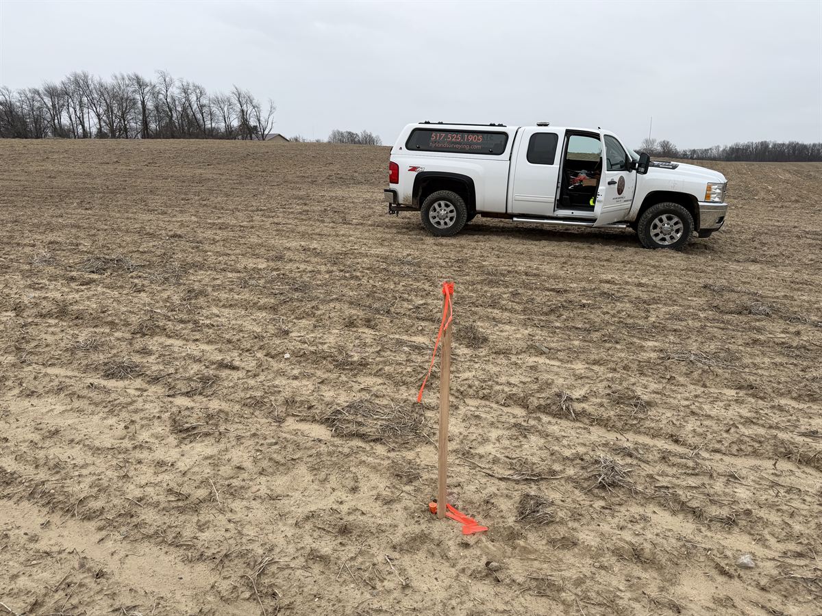
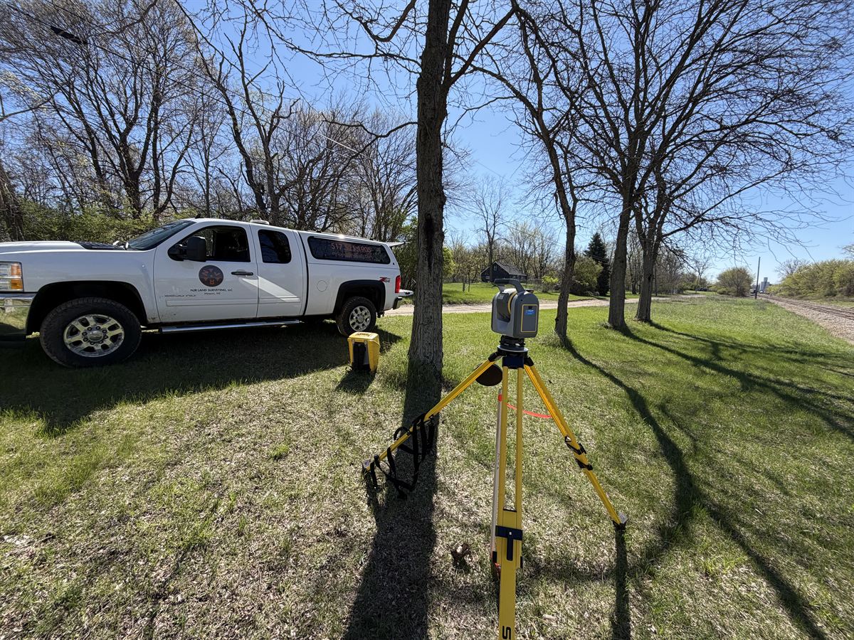
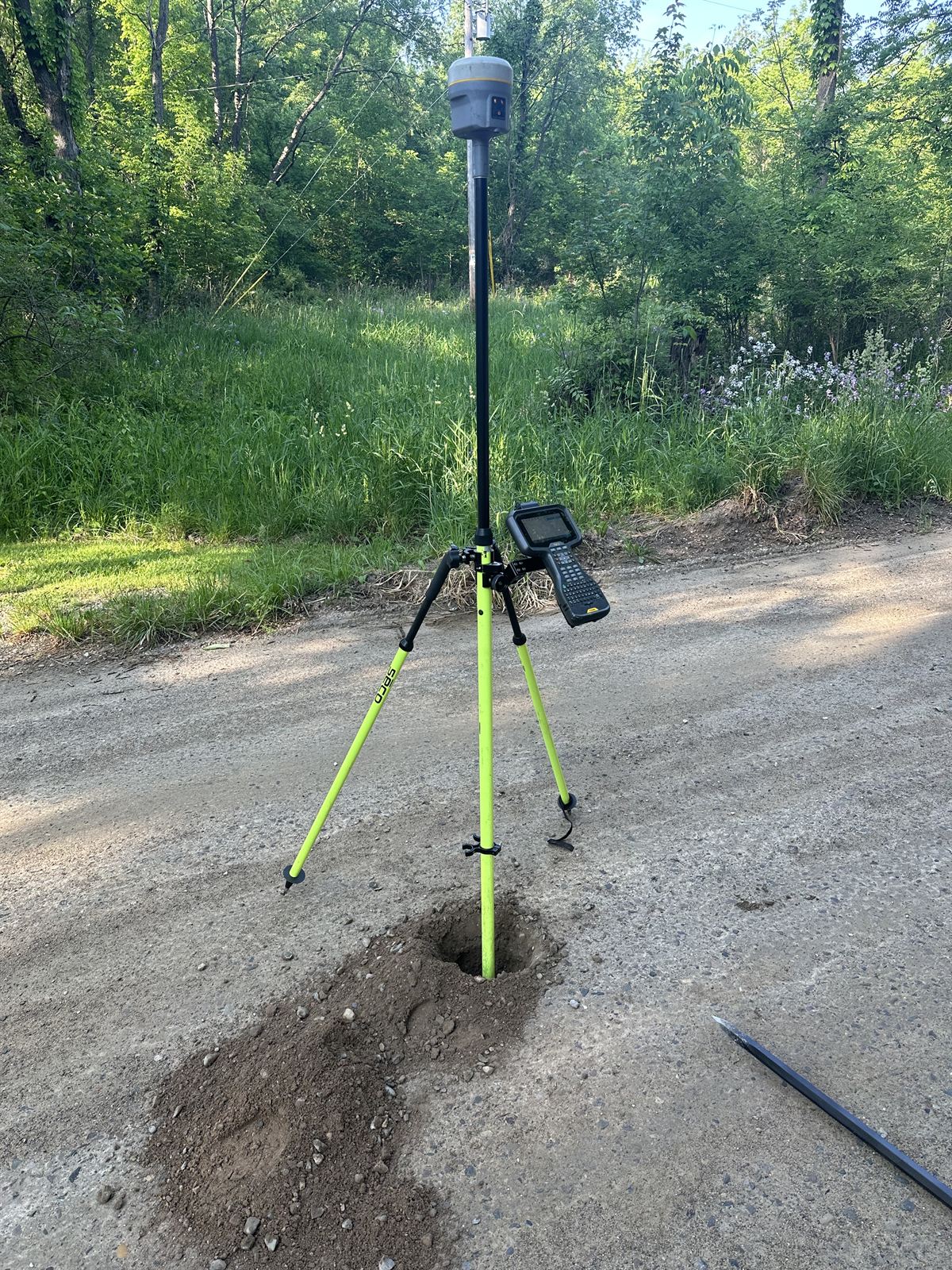
Drawing tiles are placeholders, drop in redacted plats to complete the gallery.
Send a few details about the site and the objective. Every project is scoped individually, and the firm responds within one business day.
To begin project scoping, use the form or email the office. For document-heavy requests, such as a title commitment or site plan, email works well.
Residential lot surveys are welcome and are scheduled in batches by area, so lead times run longer than for project work.
Office
322 S. Jefferson St., Ste 206
Mason, MI 48854
By appointment only
Phone
517.525.1905Share a few details and the firm follows up within one business day.
Tell us about your project. Scope, fee, and timeline within one business day.